Bill's Nevada Hunt: The Real Story
Page 4
First posted November 22, 2010 Last edited November 24, 2010

The Story Part Six:
Thursday, November 4 Day 15 Day of Deer Season
Got up at 8:45. Another warm, sunny day.
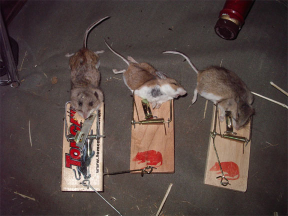
Found two dead mice and the other trap sprung. The mice are a light brown on top, though underneath the hair tips they're gray. Soft. Would make fine dubbing.
Noticed that the comb I carry in my back pocket had broken in two. So if my hair looks half-combed, you know why.
While doing some business in the trees (I seemed to become subject to the "Paul Zweng Effect" from my coffee each morning), I noticed that mice had shredded some of the TP in my previous little rock piles.
Finished the box of Wheat Thins, ate a can of garbanzo beans, drank a beer. Warmed all the leftover coffee on the canister stove.
Tiny leaf-hoppers bouncing around the tent were making tiny, plastic "whaps" at each jump.
A little nervous with my troubles finding the car after these hunts, though within 75 yards, I dug out my extra, small GPS, programmed in the location of camp and the parking spot, and tucked it into my survival buttpack. Comforting to have a spare.
Left camp at 1:30. Once more unto The Breach.
Jumped a cottontail during the hike in. It took me about 75 minutes. The cross-hill part is not difficult, though it does gain elevation and involves much winding and ducking, and some days I'd stop for a sit-down before beginning the second part of the hike (through the bottom of the sage clearing and then straight up the ridge). But going up the spine might involve 5-10 steps, followed by a rest twice as long as the walking took, etc.
Got to my spot. Sun disappears behind the hill about 3:45. At 3:50 I heard three shots from over the top on the other side somewhere.
And at 3:55 I saw an average 4x4 in the middle-upper part of 'the pocket'.
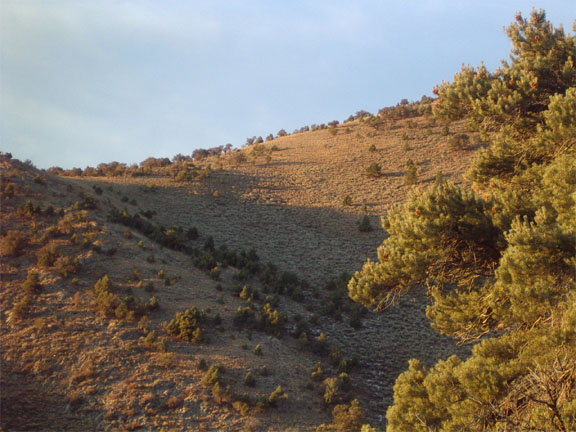
Click here for a larger version of this shot
His appearance was so sudden, I'll guess that he'd been bedded there where the sage was tallest. Even though this was the second-to-last day, I decided to pass on him; good hill with a good view, rut only getting closer, and I'm seeing some deer here- I still had easy hope for these final two days. (So there, Craig, with your talk about "Bill's itchy trigger finger".)
He fed placidly for awhile, then suddenly realized he was late for an appointment. He began stomping across the hill to the right. I grabbed up my rangefinder, binocs, and rifle, and scooted up my ridge to be able to see the part of the hillside toward which he was heading. Although he paused for a few mouthfuls, he kept right on his line of travel. I've no pics of that upper part of target hill, nor the area below the topping cliff rock around the curve, but he stomped on across, and I lost him around a corner.
Although I didn't want him, that was another lesson about taking the shot when you have it; not waiting for a slightly better opportunity or, thinking the one is available at any time, just feeding in the bowl, letting him hang in case another comes along. One can choose to do such, of course- but you'd better understand that the situation can change suddenly. Once he got into the trees beyond the pocket, he became a very tough, and distant, target; then gone.
But by moving around keeping him in sight, I learned a little more about both the ridge I was on, with distances to elsewhere and the views possible, and about more country to watch. This version of the map kinda shows what I could see, though it's too simplified. The lighter pink outlined region on the map is what I could see from my lower vantage pioint, the darker red is the area is what I could see from the upper vantage point, though I couldn't necessarily see through all the trees to the ground, nor around every fold. And it's a lot of guesswork, now looking at map. I don't think that I could really see so far as to the peak up there to the left. There's prob a bunch of curving of slope that limited my view. But the general idea is there - what I could see from my 'nest', what I could see by moving up my ridge a bit, and the small intersection; and the reason I went back and forth. The green area on the map is not just heavy tree cover, it could in reality be tree cover, light and heavy; small openings they never show on maps; pockets of sage; cliffs and rocks.
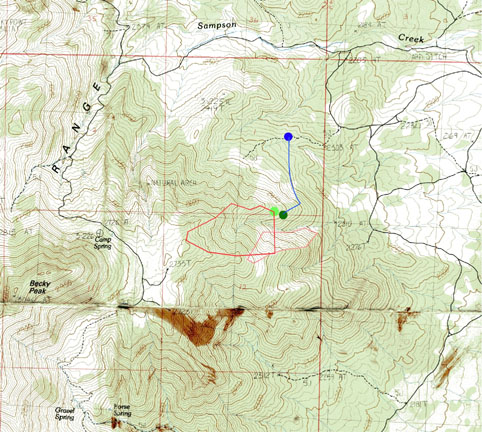
Note the blood stains on the map. Bill does not know if the blood is his or elk. An enlarged map of the center section is below:
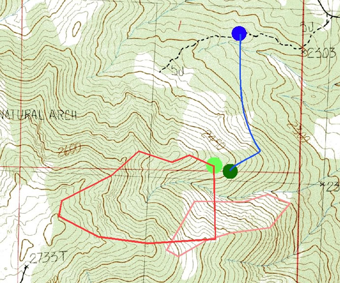
Importantly, I could gain nearly 100 yards to 'the pocket', which is pretty much the intersection of the two 'areas of view', though distances were still far.
I returned to my nest, ate two pieces of antelope jerky and two small Milky Ways. Never had to don my water-proof coat (used as a wind-breaker with some insulation); the vest was enough this day. Heard quite a bit more distant bugling, perhaps in the low forest from bulls waiting for dark to slip into the big valley.
Just that single deer all evening.
I did better at finding the car, but still got mixed up and depended entirely on the GPS. Found three mice, vision capability unknown, in the traps.
Warmed and perked coffee over the fire. My reserve can was 'best by' 2007. Cooked a can of chile; tossed into the can, as needed, some diced onion. Ate the last three of my peanut butter-topped cookies, saving one to provide trap bait.
No disturbance of the pile of mice bodies I'd been making.
To bed at 10:45. Early, but tomorrow was to be a long day.
Some pics to fill the bandwidth-
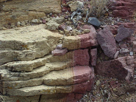
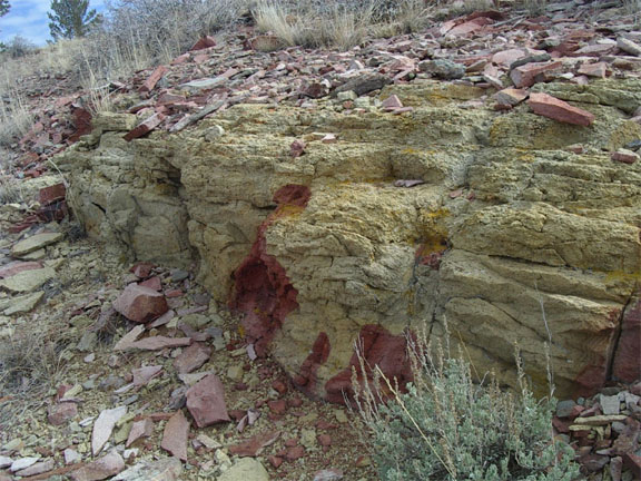
A unique outcrop on top of Lovell, not far from some old prospecting: