Oregon Hunt 2014
Page One
First posted October 20, 2014 Last edited October 22, 2014

Lay of the Land
This is the general area of our hunt (for the full topo map, click MAP). We were in central Oregon, just east of the Pacific Crest Trail. Our area was at the cusp of a dramatic change in rainfall, and therefore the plants.
The area just 4 miles to the west of us gets a lot more rain, as much as 90 inches/year. Sisters, which was the closest town to our hunt area, gets 13, and further south and a bit east, Bend gets 11. Redmond, where Ted and I flew into, gets only 8.
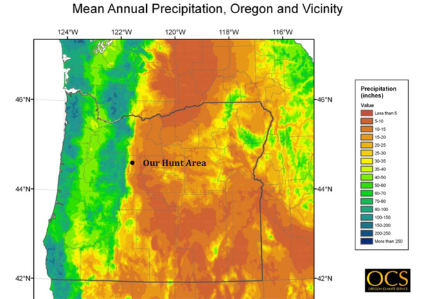
The plants show the effects of this rainfall disparity. The coast is a rainforest, with hemlock, pacific yew, maple, and dramatic hanging lichens 3 m long. Where we were there were douglas fir and ponderosa, with a few spruce. Around Redmond the only trees were junipers! The variation in plantlife was dramatic.
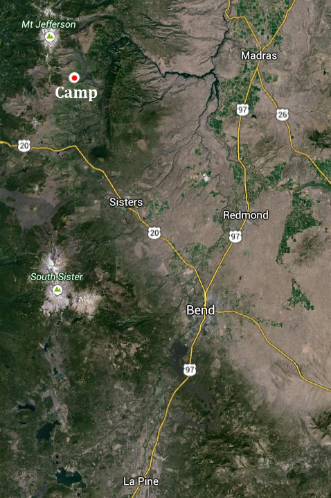
This map shows Redmond, where we flew in. We drove west to Sisters, then north to where Bill located camp (these minor roads are not shown in this map). To the east of camp you can see Green Ridge, the dark green band located about 1/2 inch to the right of camp. The Metolius River flows along its west border flowing north, then it turns east, and finally south-east. It flows into a long lake seen on the map. Where it flows out, it becomes the Deschutes River.
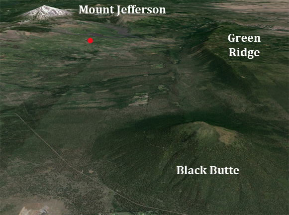
This is a satellite image of where we were hunting (red dot). You can also see Green Ridge . The Pacific Crest Trail is to the west of camp, along the ridgeline connecting Mt Jefferson and South Sister. Mount Jefferson was to the North, the Green Ridge to the east, and Black Butte to the south. We drove past Black Butte to get to Sisters, Oregon. Just north of our camp you can see two grey bands. These are the lava beds.
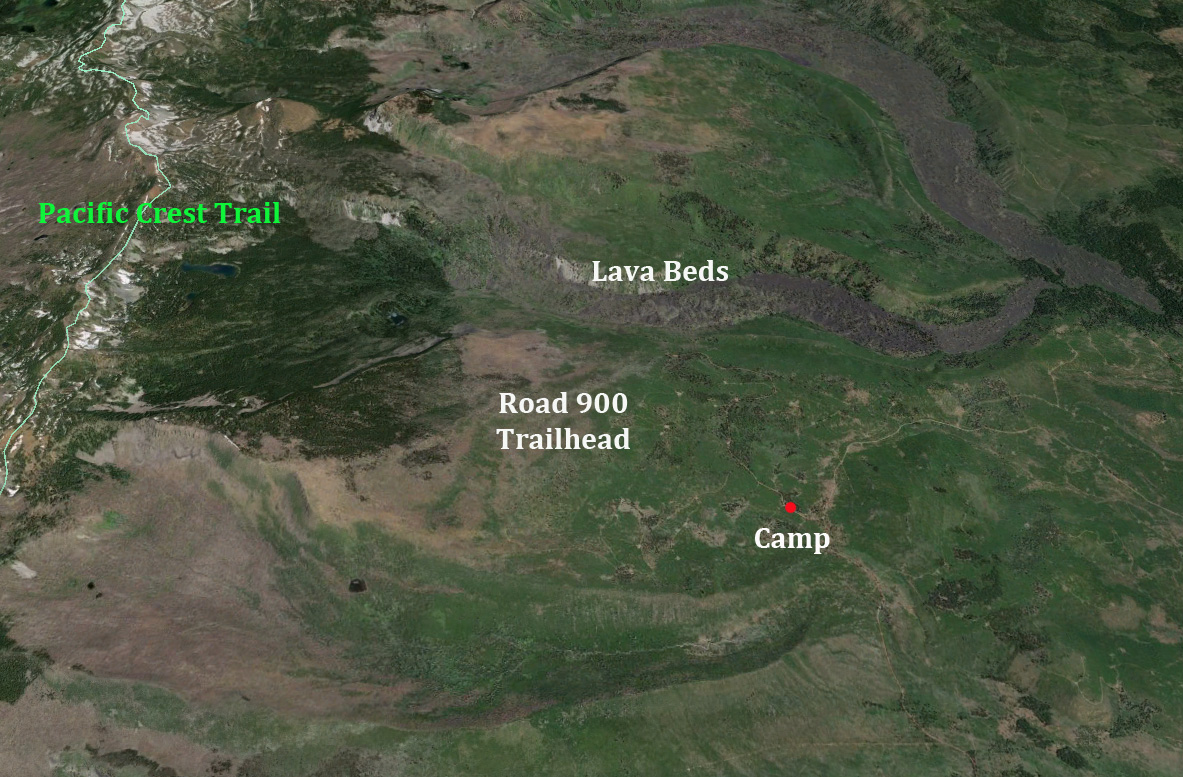
This map shows camp, Road 900 to the trailhead we all used to hunt to the east, and the Pacific Crest Trail.
Green Ridge is off the map to the right.
The Cascades are a volcanically-active area, with several areas of lava. Two arms of lava can be seen above.
Bill drove to camp a few days early and scouted. He located our campsite in a great grove. Craig drove in a few days later, and Ted flew into Redmond and rented a car. Ted left after 5 days, then I flew in and Bill picked me up in Redmond. Craig made a salad that night, Bill cooked steaks, then Craig left the next morning. I hunted only with Bill. I have asked Ted and Craig for their reports, and will post them here when I get it.
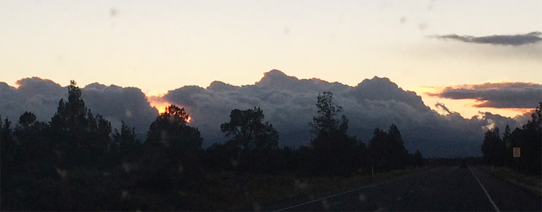
Here is the first sunset, as I drove out of Redmond with Bill. There was a light rain on the windshield, but the view was spectacular. These trees are junipers:
The roads changed the further we got from civilization. These pictures were taken on different dates, but you can see how the roads changed.
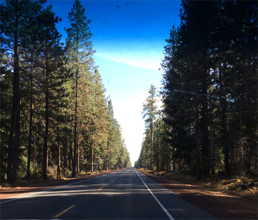
The trees change to ponderosa at Sisters, but the road is great.
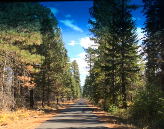
Past Sisters, the road gets a bit smaller, but still asphalt and smooth. Mostly. Then it gets a bit rougher, and then you get to gravel, and finally in some places the road goes to pot. While open to vehicle traffic, this road up Abbot Butte is rarely used:
This is camp. Bill picked a great place, with trees (I think that they were immature ponderosa pine) and fields of bracken fern. Beautiful.
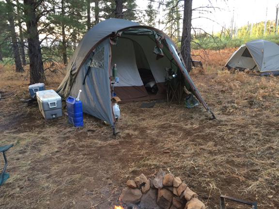
This is Bill's living tent, with a vestibule that he had his stove for brewing coffee. The storage tent is off to the right. The coolers are kept in the shade of the tent. The campfire can be seen in the bottom of the image.
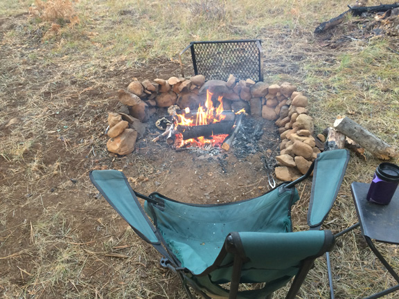
This is the campfire. Bill built a great wall from rounded river stones gathered from the immediate area.
The soil was pure sand, so the area must have been a riverbed or glacial valley at some point in geologic time.
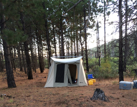
This is Craig's cook tent. We did all the indoor cooking here. Bill likes to cook on the fire, Craig likes to cook over a stove.
Craig slept in his truck.
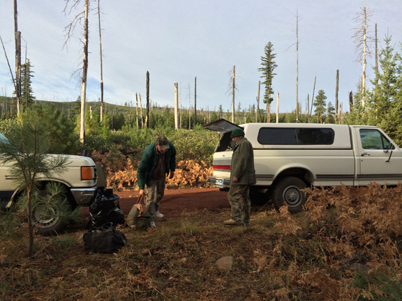
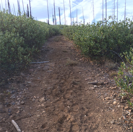
The road was 100 feet away. Beyond you can see the overgrowth of brush that is the typical response to a fire.
The plants are called snowbrush and grow very close together. They tend to have vertical branches,
so at times you can push your way through. But not always. In general, we did not try to penetrate the snowbrush.
You can also see that our area was blanketed with dead bracken ferns.
 |
 |
|
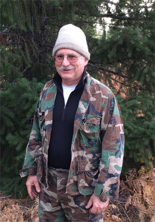 |
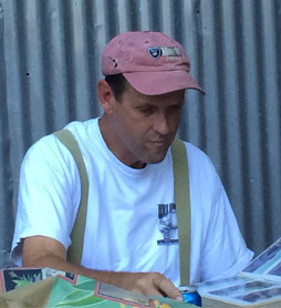
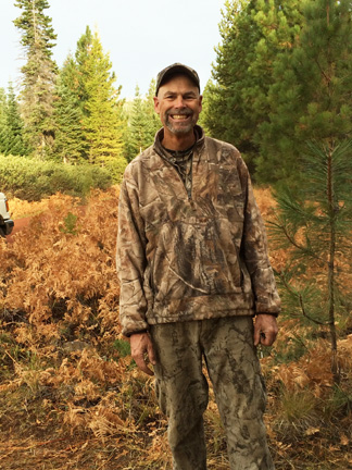
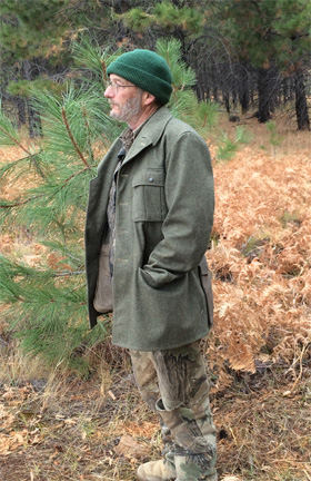
Here is our team, suited up for rain and cool evenings.
(The Ted photo is from Old Timers at the Ranch.)
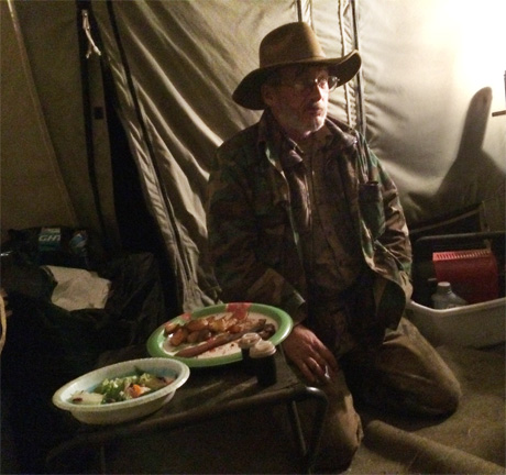
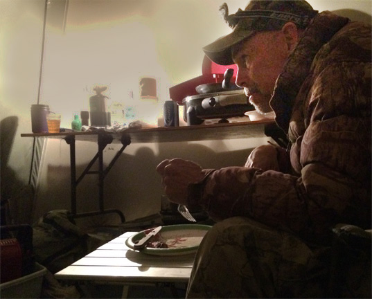
Inside the Cook Tent on my first evening in camp.
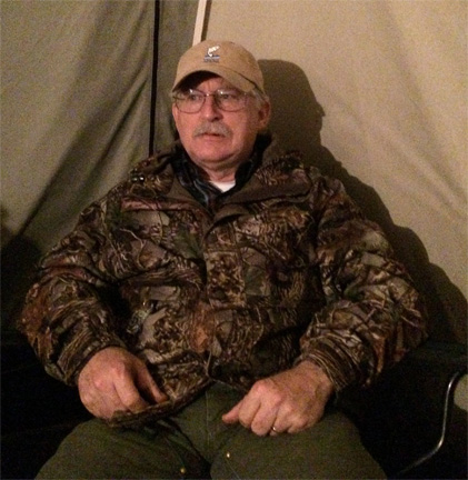
I am pretty skeptical about our chances when the boys told me that no one had seen any antlers and precious few deer of any kind.
Next: Sunday, October 11
Forward to Page Two Page Three Page Five